
After over four months in Puerto Rico we were ready to move on to new cruising grounds. But the prime season for crossing to Bermuda was still a month away, so we island hopped to eastward to explore the beautiful waters of the US Virgin Islands (and dodge the cruise ships that visit there). Though the islands of the USVI’s are less than 100NM east of Puerto Rico, the vibe was entirely different.
Departing Puerto Rico
We spent our final days in Boquerón revisiting all our favorite spots, provisioning, and tying up loose ends. After picking up our last packages, we closed out our incredibly convenient post office box that allowed us to order online and we set sail south around the lighthouse at Cabo Rojo for the last time. We headed east towards our favorite island, Isla Caja de Muertos for one last weekend enjoying the secluded beaches sheltered from the trade winds.
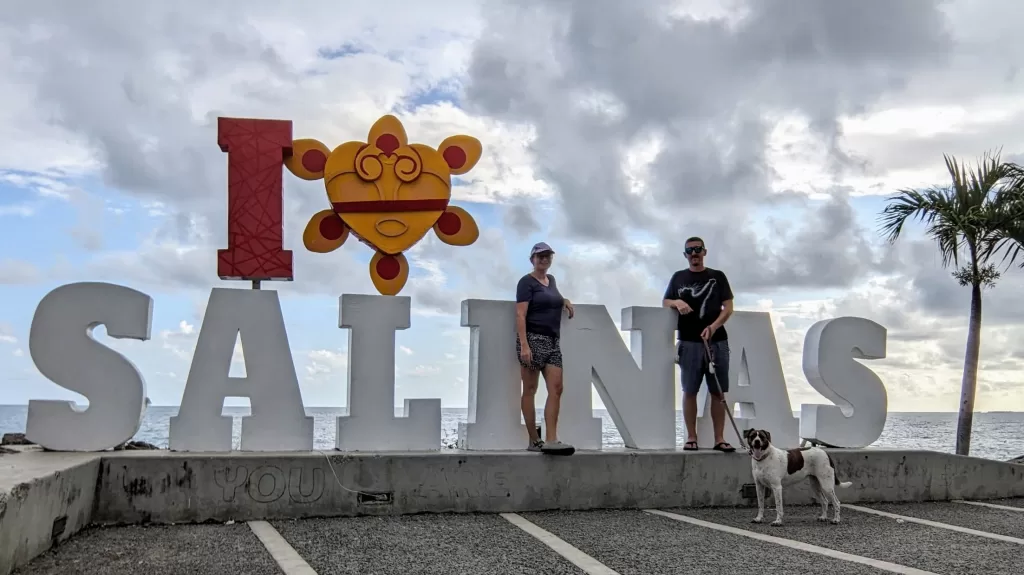
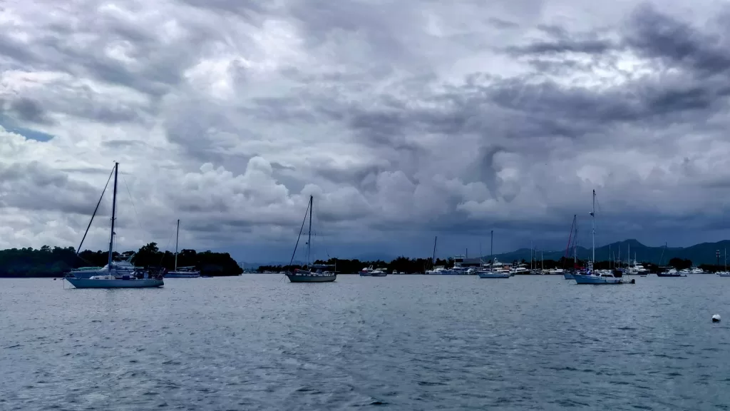
Once the trades let up, we sailed around the corner to Salinas, a mangrove basin filled with boats, mostly on moorings and in varying states of disrepair. The small town on shore seemed cleared out for the season, and we enjoyed the peace and quiet at anchor, aside from a brief thunderstorm that rolled down the hills to the north. We took full advantage of the local grocery store’s delivery service to load up on food and provisions before continuing eastward.
Vieques, Puerto Rico
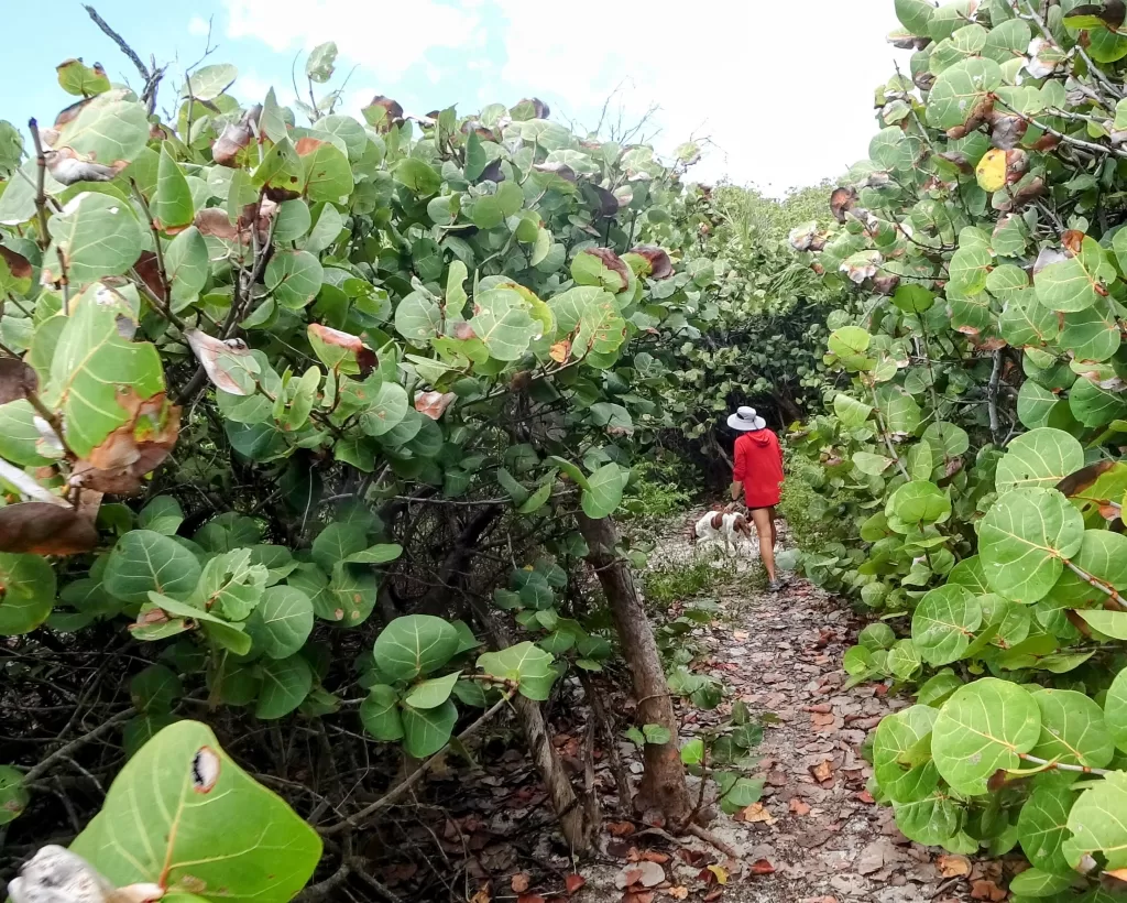
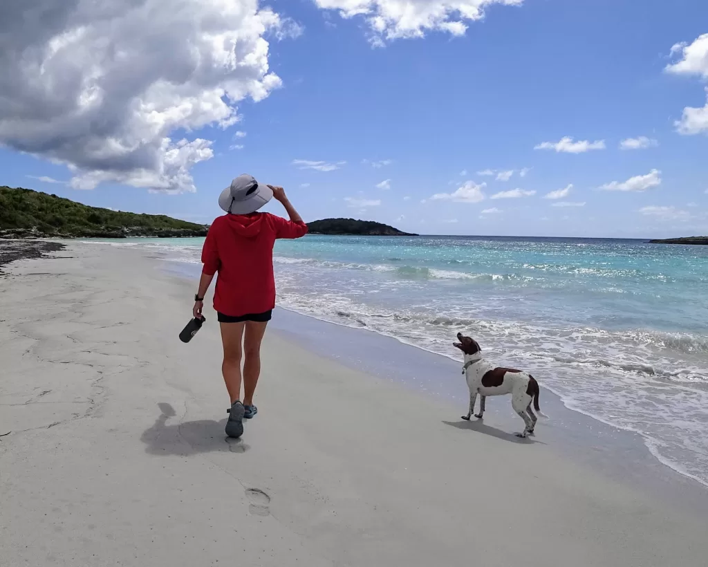
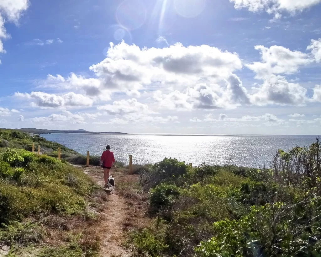
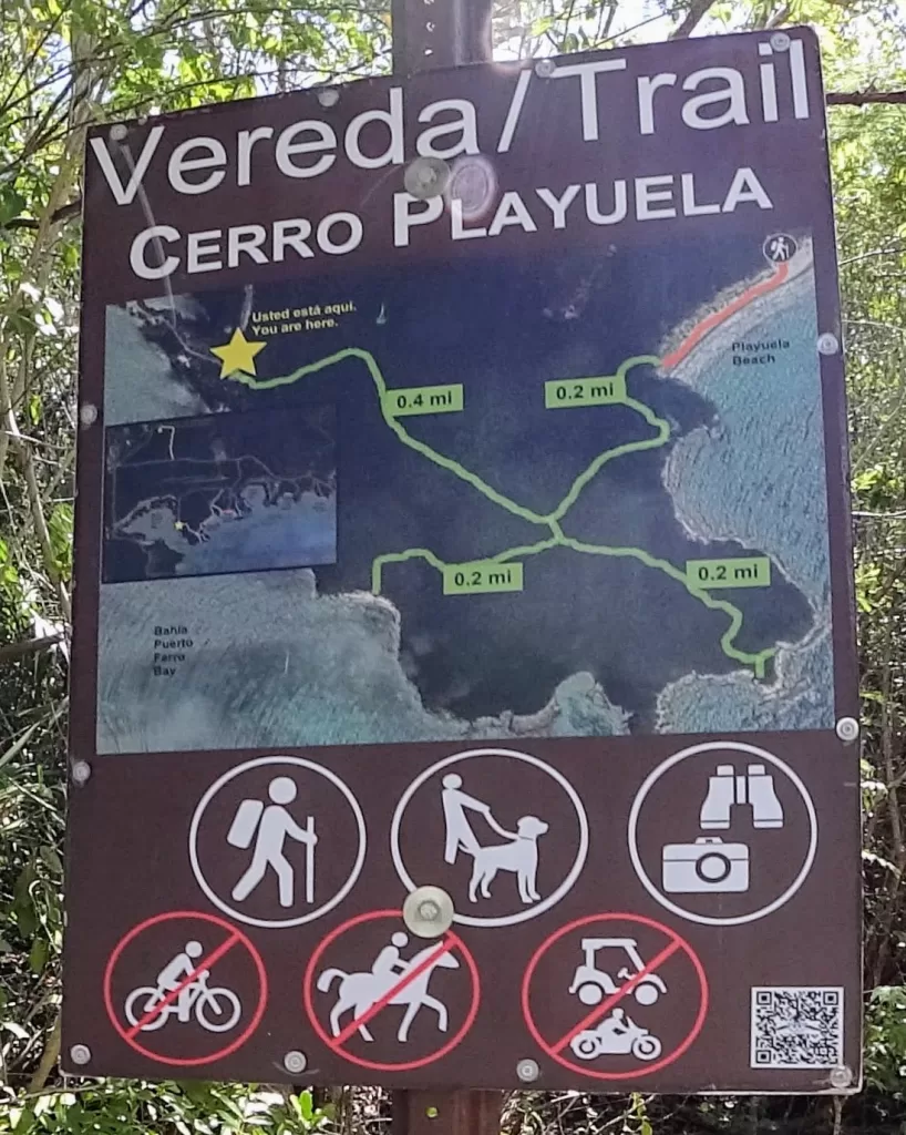
Isla Vieques was our next stop on the journey east. Unlike Caja de Muertos, this island was inhabited and seemed to be primarily a vacation destination. We first visited Sun Bay on the southwest shore, but a rolling southerly swell and plethora of powerboats made for an uncomfortable night and we soon moved to the protected shallow bay of Puerto Mosquito just a few miles farther east. Aside from the handful of abandoned derelict sailboats tucked into the mangroves, we were mostly alone in this large well protected bay. The extensive network of trails along the southern shore allowed us to explore the nearby beaches and cliffs. Unlike the name suggests, we didn’t encounter many mosquitoes, just a very cool place to hang out and wait for the winds to settle.
Arriving in St. Thomas
Once the trades died down, we set out for St. Thomas, an easy day sail away in mild north winds. Our first stop was at the south east corner of the island, anchored in Benner Bay. Though this bay is somewhat exposed to the trades, and crammed with derelict vessels of all shapes and sizes, we spent a few calm days at anchor and shuttled all the pets to the veterinarian located behind the marina in preparation for the pet import requirements in Bermuda. The staff there were very helpful preparing us for departure, and all the pets received updated vaccines which needed to be administered 1-month prior to arrival in Bermuda. The doctor gave us all of the health certificates we would ultimately need to send to the Bermudan authorities and we were soon on our way.
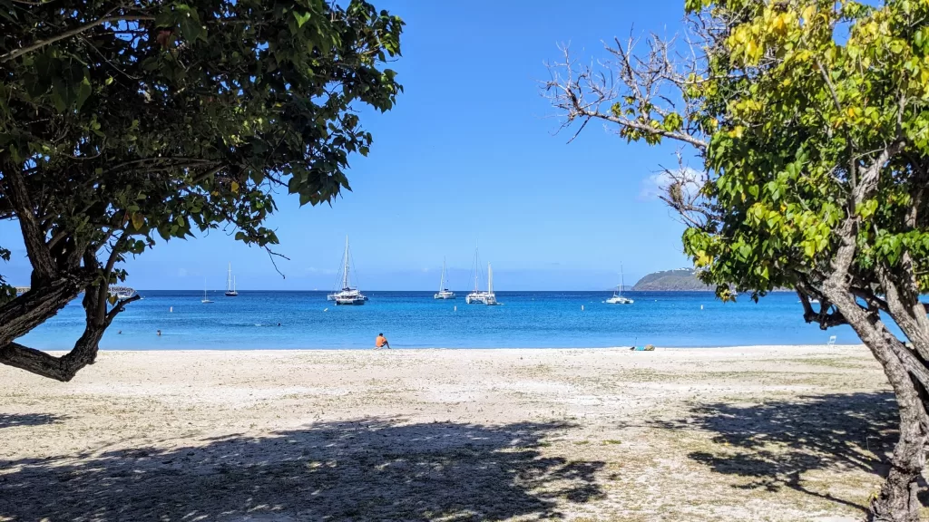
Next we backtracked to Brewers Bay, a sandy coral studded harbor protected by the long, protruding runway of St. Thomas’s international airport. Finding a spot to anchor among the coral heads and moorings proved challenging at first, but the artificial protection afforded by the runway more than made up for the noise of arriving and departing jets. We slept comfortably despite the rolling swell just a half mile or so behind us as several strong squalls rolled across the island. Access to town should have been simple from the public beach at the corner of Brewers Bay, but the local bus never seemed to arrive on time (or at all from what we could tell).
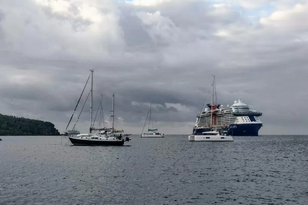
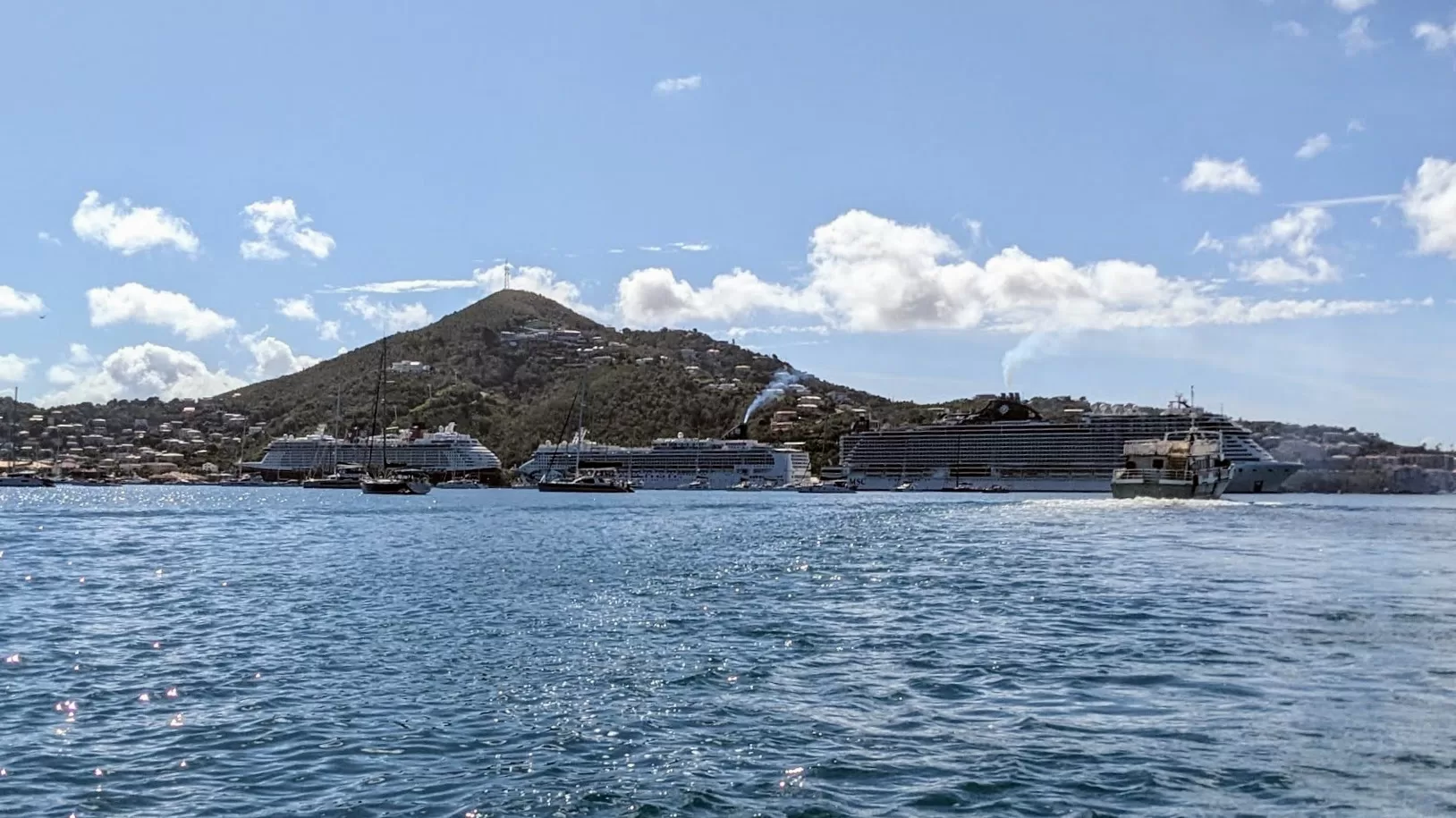
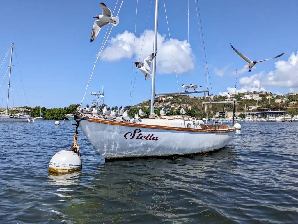
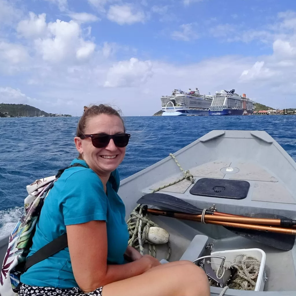
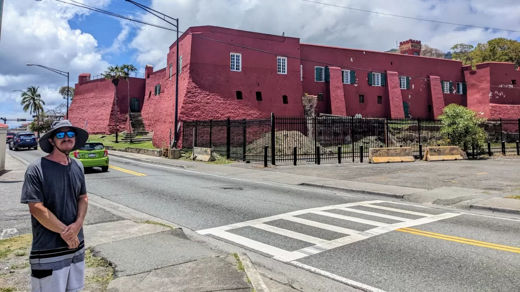
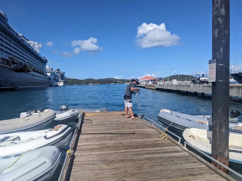
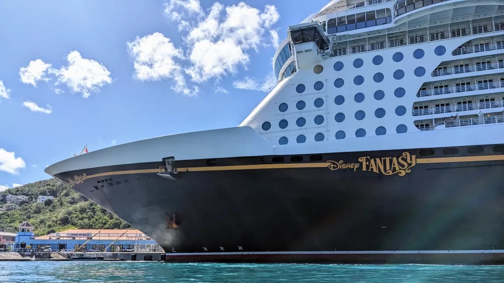
So when the squalls subsided, we motored into the main harbor of Charlotte Amalie to provision and explore the town. It was immediately clear that the entire town is setup to do one thing: receive cruise ships! And boy did we see some traffic during our stay. We awoke early the next morning to see the “Icon of the Seas”, at the time the worlds largest cruise ship, quietly passing a mere 100 meters behind us at anchor. Between 3 and 5 cruise ships would come and go each day, flooding the town with tourists from all over the world.
Despite the tourist crowds, we managed to obtain groceries, wash some much needed laundry, fill our propane tanks and enjoy the local Caribbean cuisine all without feeling too overwhelmed. After years of hearing and speaking Spanish onshore, we were a bit shocked to hear new Caribbean creoles being spoken by the locals, though English was primarily used and understood wherever we went. Everyone we encountered was incredibly welcoming and friendly. Whether navigating the bus system, arranging taxis, or suggesting places to eat, folks here went out of their way to make us feel at home.
Fun above and below the surface on St. John
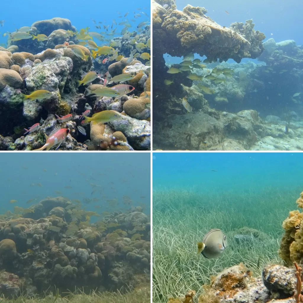
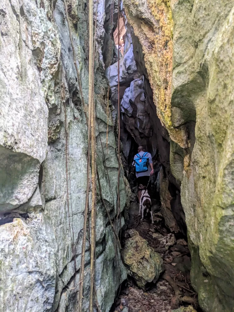
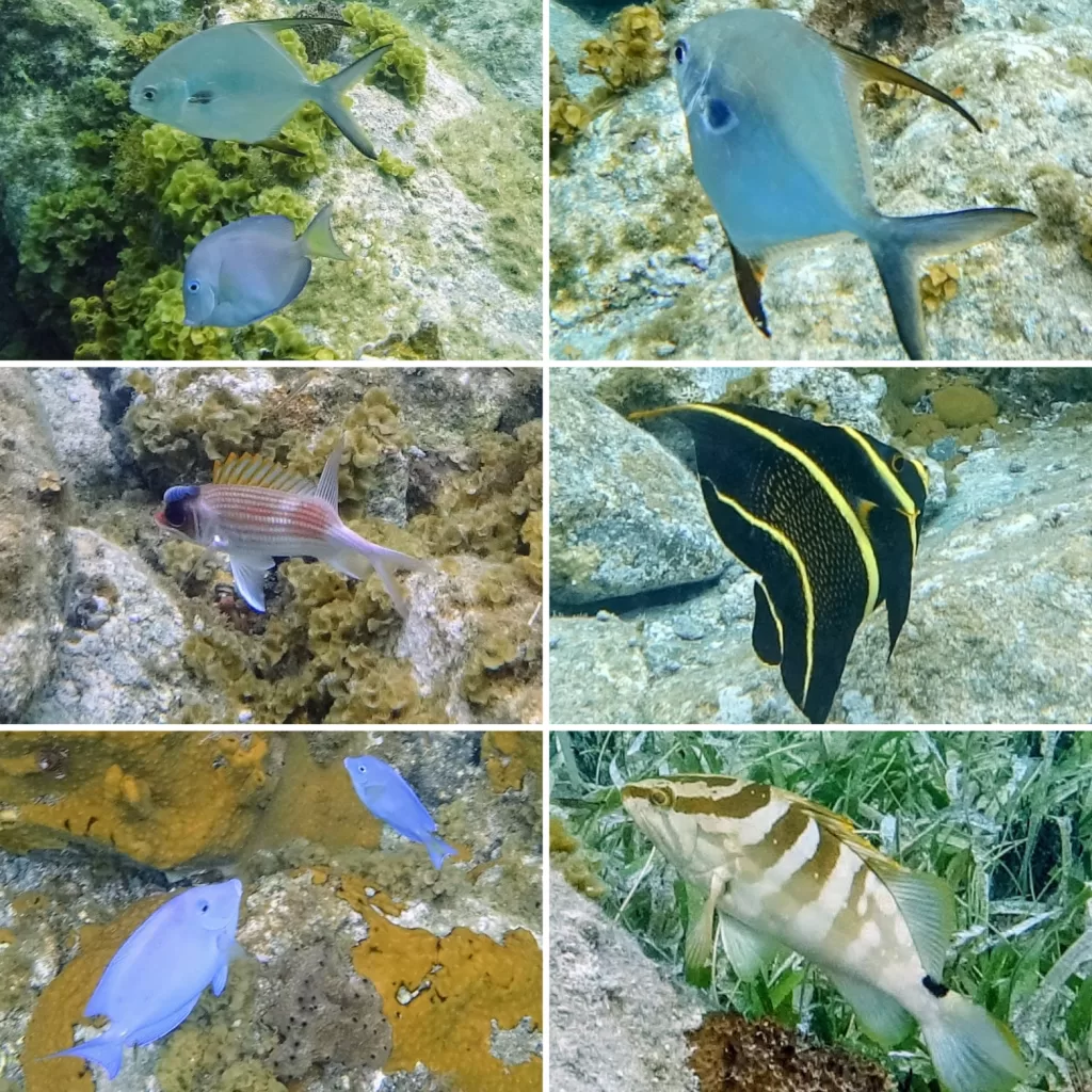
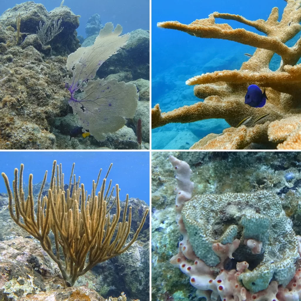
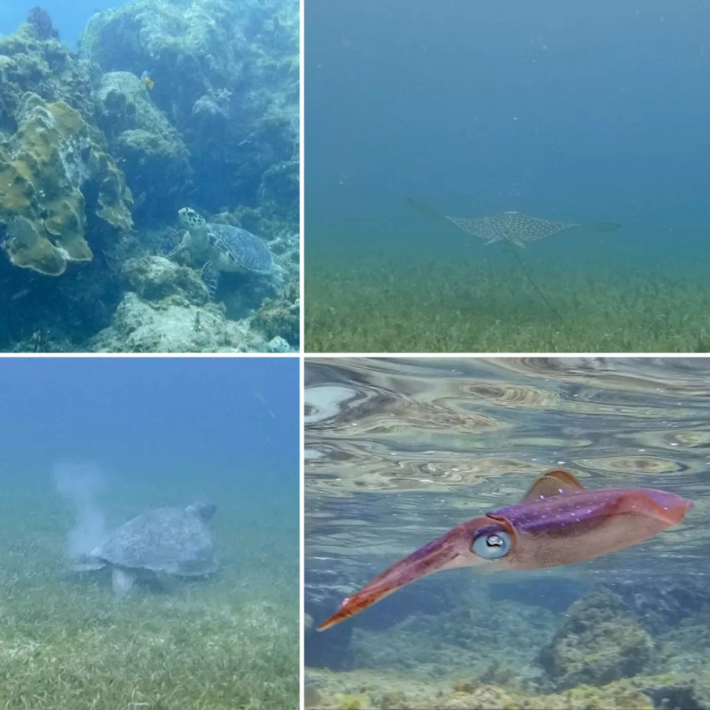
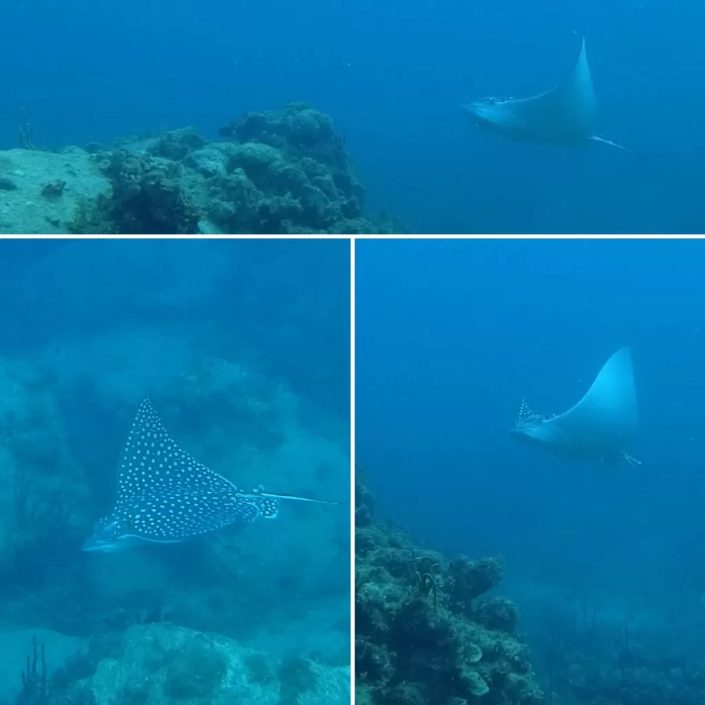
While St. Thomas is host to the cruise ship crowds, just a few miles to the east the island of St. John is home to a huge National Park. Even though anchoring (and walking dogs on the beach) is restricted throughout much of the park, we tucked in to Rendezvous Cove, right on the edge of the park boundary to enjoy some world-class snorkeling. Coral, fish, squid, turtles, rays and much more were all around us every time we jumped in the water.
Offshore preparations
Aside from exploring and relaxing, we spent our time in the USVIs catching up on some much needed maintenance onboard Rua Hatu. Our refrigerator definitely had a slow leak, and would hardly keep cool in the tropical heat, so we arranged for a local HVAC technician to recharge the system. I performed the yearly maintenance on the diesel inboard engine including oil and filter changes, zinc replacements, and water pump inspection. We also carefully inspected and tuned our standing rigging before the long passage to Bermuda so as to avoid any nasty breakdowns in the middle of the ocean.
With everything fixed, the boat full of groceries and supplies and the necessary paperwork submitted to the Bermudan authorities, we patiently waited for a weather window to set out on our next long passage northward to into the heart of the Atlantic Ocean.